Transporting Ohio Goods to Market in the 1840s: The Port Washington Road
Lesson Plan
Created by Rachel Augspurger, Heidi Breudigam, Laura Chatfield, Nancy Dravenstott.

Core Theme:
Growth of the Nation-Transportation, Communication, and Westward Movement
Grade Level:
2-4
Estimated Duration of Lesson:
30-45 minutes
Standards & Indicators:
Grade 2 History #5: Identify the work that people performed to make a living in the past and explain how jobs in the past are similar and/or different from those of today. History #4: Use historical artifacts, photographs, and maps to answer questions about daily life in the past. Social Studies Skills and Methods #2: Identify sources used to gather information: a) people; b) printed materials; c) electronic sources.
Grade 3 History #3: Describe changes in the community over time including changes in: f) transportation. Geography #8: Identify systems of transportation used to move people and products and systems of communication used to move ideas from place to place. Social Studies Skills and Methods #1: Obtain information about local issues from a variety of sources including: a) maps; b) photos; f) artifacts
Grade 4 History #5: Explain how canals changed settlement patterns in Ohio. Study Skills and Methods #3: Use primary and secondary sources to answer questions about Ohio History.
Lesson Summary:
Using primary and secondary sources, the students will travel with a local farmer as he takes his goods to market by way of the Old Port Washington Road (Ohio Road #20). This lesson can be pared with “The Ohio and Erie Canal” lesson plan to show the farmer got his goods to distant markets.
Instructional Steps to Implement the Lesson:
1) Class Starter: Students will complete a
2) Introduce location using maps.
3) Present Video of Travelling the Old Port Washington Road while giving information about the road (see
4) Using primary source photos, have students travel the Old Washington Road; go to Ohio Memory and search for historic images from Millersburg, Baltic, and Port Washington, and surrounding areas. Students will use to examine photographs.
5) Go to “The Ohio and Erie Canal” lesson plan to travel along the Ohio and Erie Canal.
6) Closing: Think-Pair-Share Strategy (Students will share something they learned or found interesting as they traveled the Old Port Washington Road to the Ohio and Erie Canal.)
Differentiation Ideas:
1) Remove word bank from post test. 2) Use a picture bank in place of word bank. 3) Internet search for goods produced in Ohio in 1840.
Post-Assessment and Scoring Guideline:
Students will complete a on transporting Ohio goods to market past and present. Students will be expected to place at least 3 items in each section of the Venn Diagram. Students will answer the six questions in complete sentences. Each question will be worth 2 points.
Materials Needed by Teacher:
Pretest and Post-test, Port Washington Virtual Fieldtrip video, Old Port Washington Road brochure, photoanalysis worksheet, Ohio and Erie Canal Lesson
Materials Needed by Students:
Internet access (for internet search)
Extended Learning: plain colored craft sticks of varying sizes, glue, masking tape, cardboard, rubber bands, variety of materials to aid in construction, art boxes
Extended Learning:
1) Using primary source pictures of canal boats and wagons of the 1840s era, students will create a model of their choice depicting one of these two forms of early transportation in Ohio.
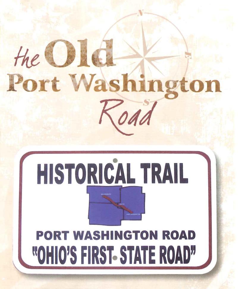
2) Today, you can travel from Millersburg to Port Washington on the Old Port Washington Road using driving directions and following the “Historical Trail Port Washington Road ‘Ohio’s First State Road’” signs.
